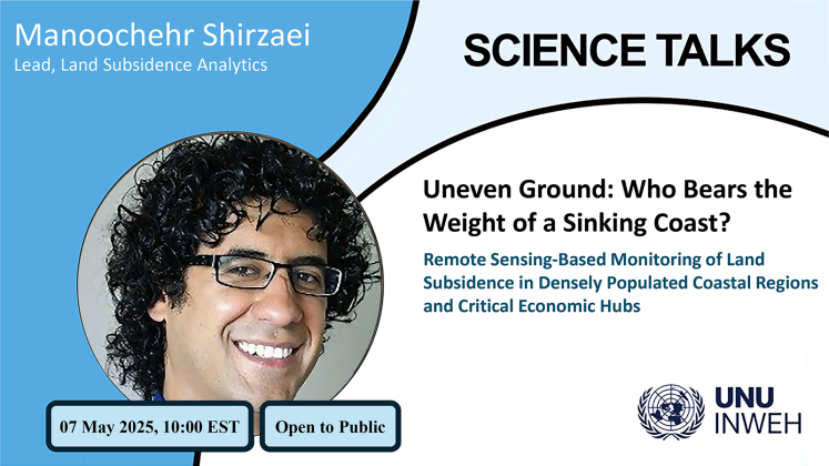
The increasing threat of coastal land subsidence significantly intensifies the vulnerability of coastal cities to flooding and infrastructure damage. In this Science Talk, Dr. Manoochehr Shirzaei explores advanced remote sensing techniques, particularly Interferometric Synthetic Aperture Radar (InSAR), to enhance the monitoring and assessment of land subsidence and infrastructure stability within coastal metropolitan areas. By integrating satellite-based observations with complementary geophysical methods, Dr. Shirzaei demonstrates scalable approaches for detecting ground deformation, evaluating infrastructure integrity, and assessing environmental impacts.
Case studies will illustrate the practical applications of these advanced technologies in monitoring subsidence in densely populated coastal regions and critical economic hubs, highlighting their effectiveness in identifying vulnerabilities within built and natural systems. Additionally, Dr. Shirzaei will discuss the importance of multidisciplinary collaboration in advancing geotechnical engineering practices, emphasizing how these innovations support proactive risk management and enhance community resilience.
This presentation aims to foster dialogue on adopting cutting-edge monitoring solutions to tackle complex coastal geosystem challenges and effectively mitigate the associated risks posed by natural hazards.
Register to join
Speaker

Dr. Manoochehr Shirzaei
Lead, Land Subsidence Analytics


