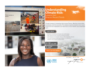
Understanding flood risk is important for effectively mitigating floods, raising awareness and developing long term management strategies to reduce flood risk. Despite its importance, the development of risk maps is often hindered by a lack of data, particularly in the Global South. In this science talk, Dr. Mir Matin will introduce a framework for flood risk mapping at catchment level for large river basins, utilizing open-access socioeconomic data and Sentinel-1 SAR satellite imagery. An automatic flood mapping algorithm on Google Earth Engine is used to create a series of inundation maps, which yielded detailed flood risk maps when combined with socioeconomic data. The framework is applied to the Ganges Brahmaputra and Meghna Basin, a region known for its extensive flooding, dense population, and economic challenges. An online tool has been developed for analysing and visualising the inundation dynamics and risk profile at catchment level.
Join the event
Speaker
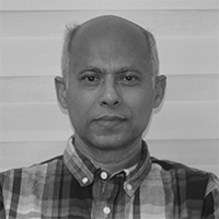
Dr. Mir Matin
Manager, Geospatial, Climate and Infrastructure Analytics Program